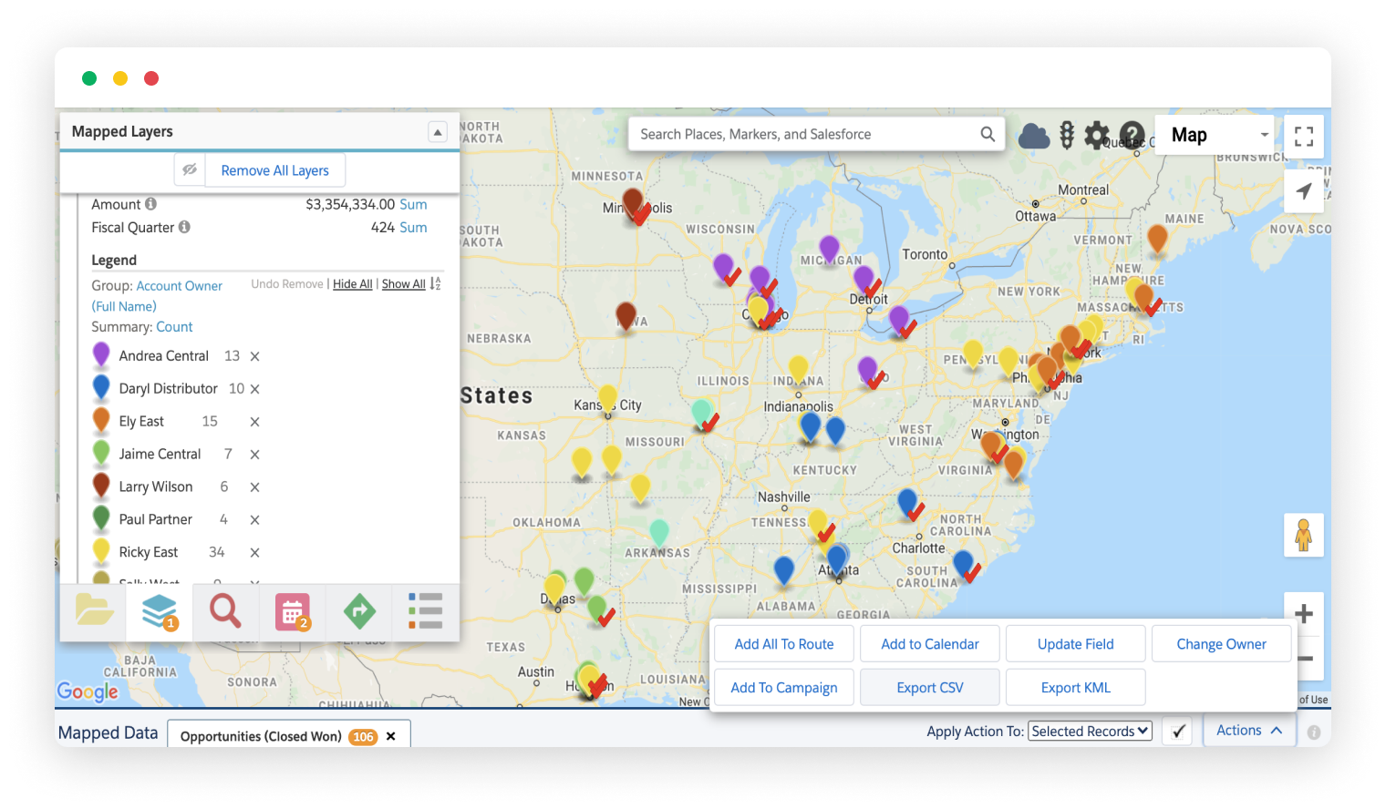
Mapped results can be exported to CSV or KML file types using built-in actions. The CSV export allows you to manipulate your results in Excel or perform full spreadsheet functions on your records.
The KML file is typically used in Google Earth or Google My Maps. It exports both your points and shapes currently visible on the map, allowing you to manipulate and share the data with your Google Earth or My Maps users.