 Spring is the perfect time for some housekeeping at home and with your Salesforce org. This is especially true in 2020, when many of us put the pause on travel and time in the field. Even if you’re getting less face-to-face time with your customers and contacts, there are countless ways you can maintain relationships and keep tabs on your data. Check out these Geopointe tools to help you update your records, stay organized and stay connected.
Clean Up Your Data
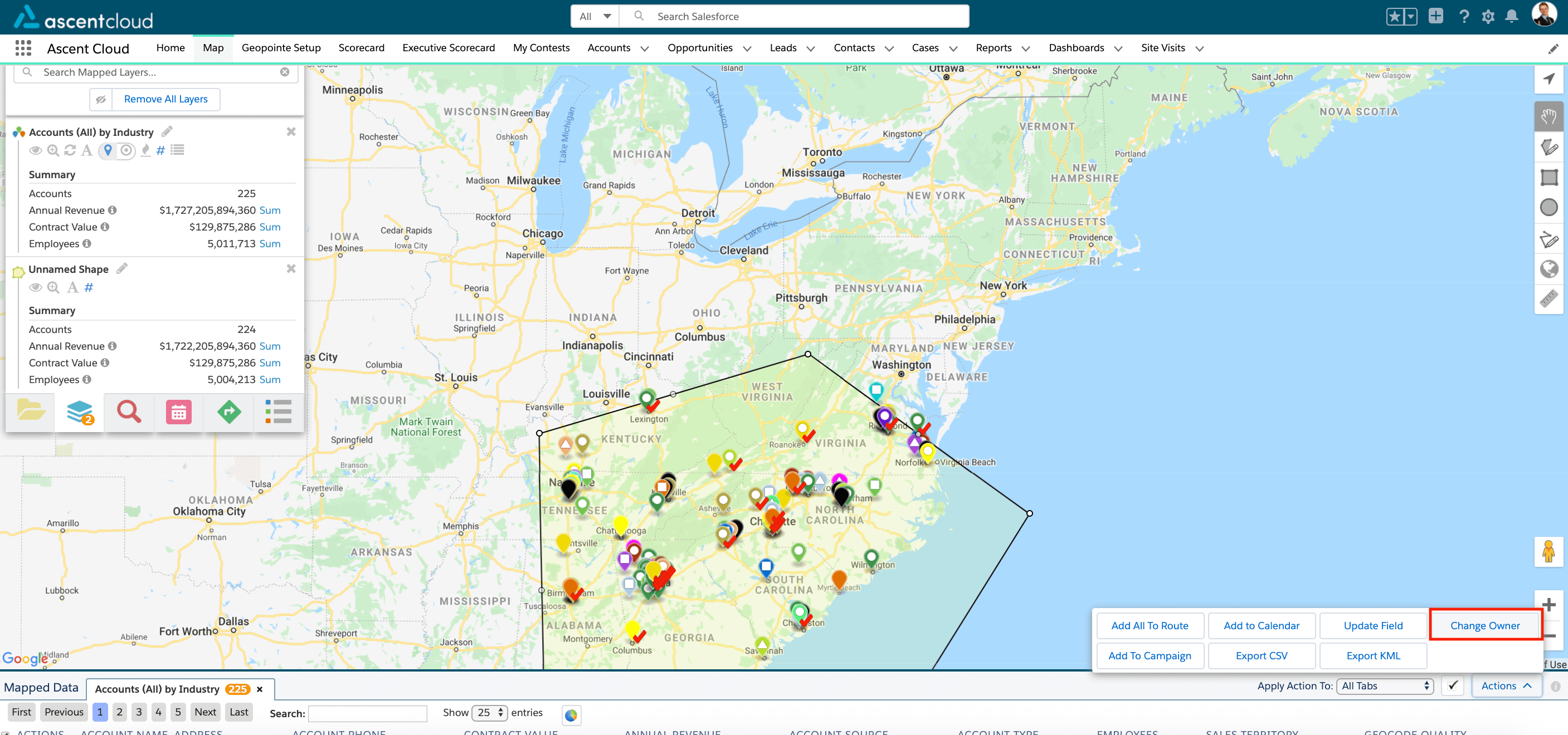
Even with a perfectly configured Salesforce environment, bad data takes value away from your workflows and processes. Geopointe helps you identify missing data and make updates from a visual perspective. With Shape actions, you can narrow your focus on a geographic region and update territory ownership or other field values across all records in that shape, with just a few clicks. You can also update records on the fly with sorting and field update tools on the Data Table and record info window.

Identify Address Issues
Having complete address data ensures you see the whole picture of your data and make optimal decisions. From the Mapped Data table, you can immediately identify incomplete address data by referencing the Geocode Quality field. With a simple report, you can take this further and identify records that couldn’t be geocoded. Using the results of your reports, you can manage a data cleanup project to get things updated. That way, when your sales, marketing and other field teams hit the road again, they will have all the information they need to succeed.
Streamline Map Layers
Building lots of meaningful Data Set and Shapes can help you see every angle of your data, but staying organized is key to efficiency. If you’re not already taking advantage of Geopointe’s subfolder system, it’s not too late to get organized. You can build as many subfolders as practical, then sort by theme or type. Dynamic Filtering allows you to streamline your Data Sets by changing the filter values each time you load the layer. This prevents the need for creating multiple similar Data Sets, and supports robust and efficient data analysis.
Connect With Your Customers
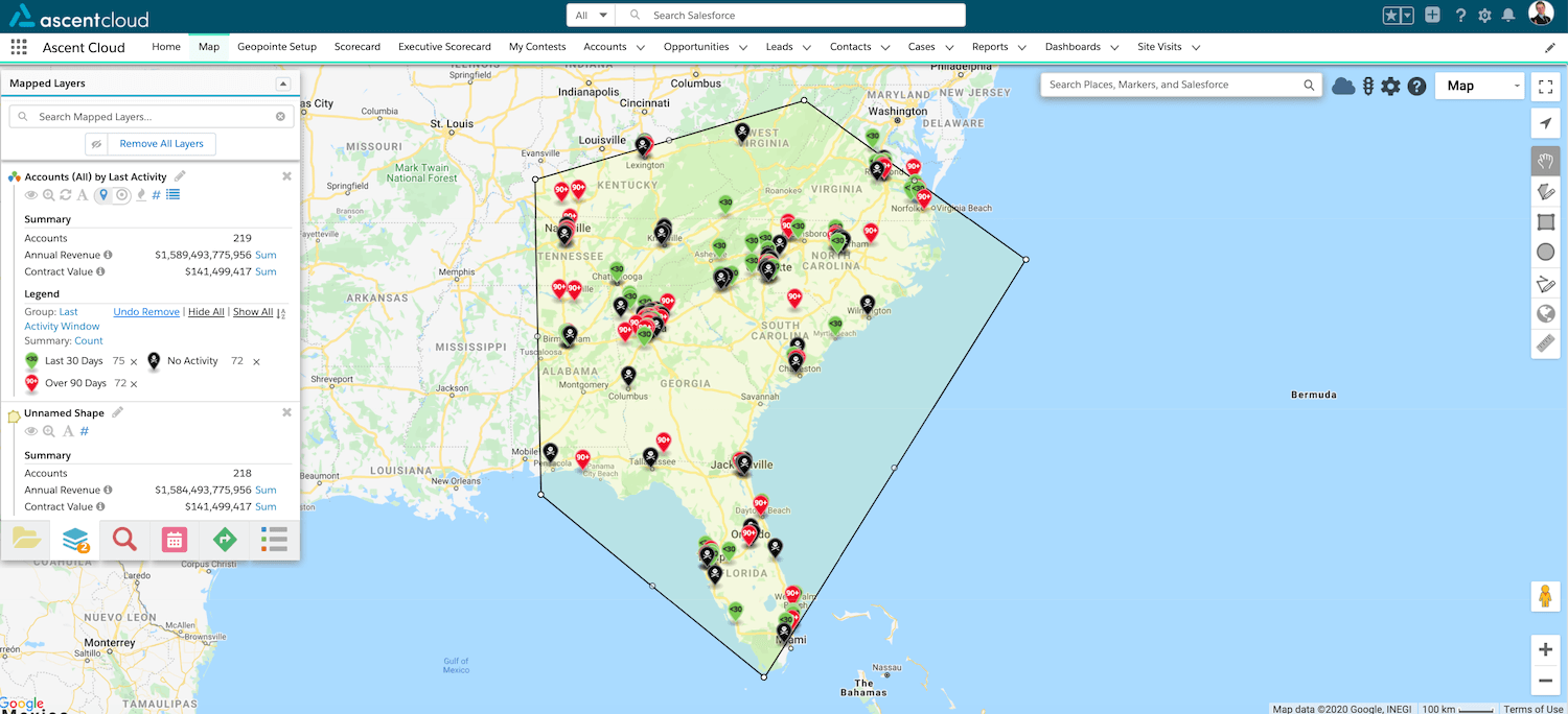
Making connections is more important than ever, even if they are completely virtual. With Data Set markers colored by Last Activity Date, you can visualize a summary of your communication history with accounts or customers and identify the records that need more phone calls or outreach. Using custom actions, you can complete communication circles, such as sending an email, SMS or facilitating a Flow or other internal process.

See the Whole Picture
Geopointe lets you see multiple dimensions of your data, wherever they are located. You can load virtually any type of geographic data, including WMS layers, demographic data, CSV files, KML layers and geographic boundaries. With this extra dimension of analysis, you can get a full understanding of the status, health risks and unique needs of your customers so you can develop better outreach and make smarter decisions.
Want to learn more? Check out the Geopointe Help Center for more details.


