The Importance of a CRM Strategy
In today’s hyper-connected world, successful companies realize the need for proactive and engaged customer relationships. So, it’s no surprise that the vast majority of organizations utilize a Customer Relationship Management (CRM) system. With 68 percent of customers who say they cancel a service or contract due to feeling “ignored,” having a CRM is only step one to staying connected.[1]
Location Data for a Next-Level CRM Strategy
With 80 percent of all data having some geospatial element associated with it, it makes sense to use geography to visualize your customer and prospect base for a deeper understanding of their needs and to develop a more strategic communication plan to take your CRM Strategy to the next level.[2]

Salesforce the Global Leader in CRM Solutions
Salesforce owns nearly 25 percent of the CRM market share, making it the global leader in CRM solutions. It’s great at illustrating who performed an action, what the action was and when the action occurred. But, the key metric missed is the where. Enter Geopointe![3][4]
Apply Geography to your Salesforce Instance
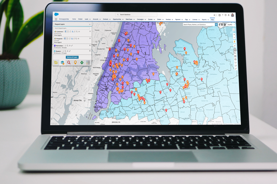
Geopointe gives Salesforce users the power to location-enable their Salesforce data. Using Google Maps technology, it assigns a longitude and latitude to addresses in your Salesforce database, making your data mappable. It then plots those coordinates on a map based on predefined criteria. Voila! You’ve unlocked the where in your data.

Improve your Business Processes
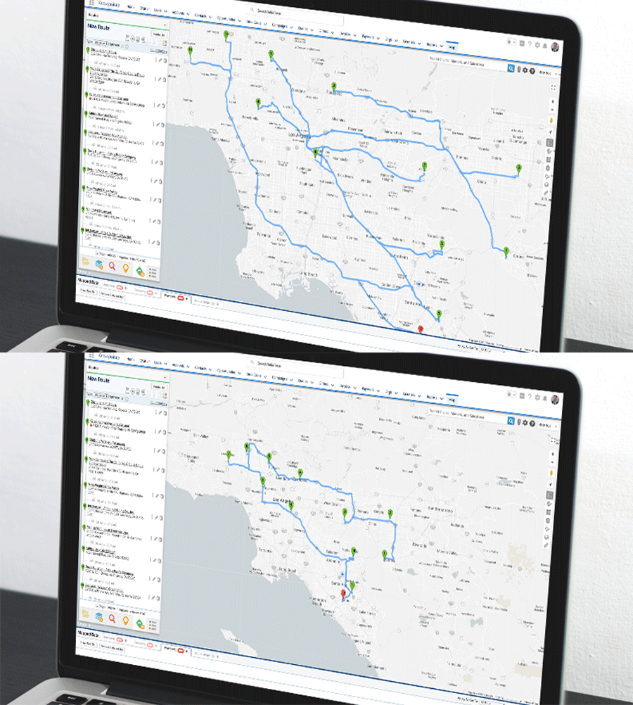
With the ability to map your Salesforce data, you can easily optimize your location-based business processes. Sales teams can build and optimize their travel routes to ensure productivity on the road. They can also fill in last-minute meeting cancellations by doing a radial search of accounts or leads near their current location.
Optimize Your Territory Management Strategy
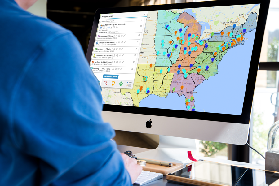
Territory management is one of the biggest struggles for organizations. With a constantly evolving database of new leads, new customers and employee turnover, territory management can easily become convoluted. Luckily, Geopointe allows you to create geographical boundaries for your Salesforce data and automate the assignment of data within boundaries. With customer territories that are easy to create and view, you can layer your Salesforce data with any standard or custom fields such as revenue, industry, or company size to build out your ideal strategy, making territory management efficient and scalable. Not to mention, your territories will be easy to view directly on the map.

Analyze your Data Geographically
Geopointe helps managers and executives make informed decisions using location data for geo-analytics. For instance, clustering helps managers quickly identify the location of revenue sources, areas with low penetration or accounts without activity in the past 90 days. They can also identify regions with the most revenue generated or closed opportunities to evaluate sales performances and optimize future resource allocation.
Does Geopointe help address your business needs or think it can help improve your business process? Contact us to learn more and start a 15-day free trial today!


